
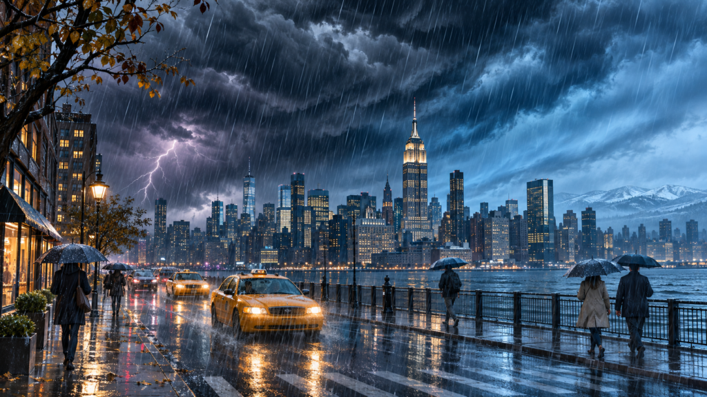
Rain and possible thunderstorms are expected to move into New York City on Thursday, potentially disrupting the evening commute before colder air arrives Friday, according to local weather forecasts.
Showers are forecast to become more widespread during the afternoon, with periods of heavy rain possible. Slow-moving thunderstorms could produce localized flooding where downpours repeatedly affect the same areas, creating difficult conditions for motorists and pedestrians.
Temperatures will fall as the system moves through the region. Gusty winds on Friday are expected to make conditions feel considerably colder, marking a sharp change from Thursday’s relatively mild weather.
Snow accumulation is expected mainly across higher elevations north and west of the city, including parts of the Catskills and Poconos. New York City is expected to remain too warm for accumulating snow, although wintry precipitation could approach parts of the metropolitan area as temperatures decline.
Rain and snow showers should gradually ease Friday evening. The weekend is expected to begin with cool, blustery conditions before brighter skies return Sunday.